Place Standard for design and improvement of neighbourhoods
A collection of stories from people working on place-based projects for neighbourhoods.
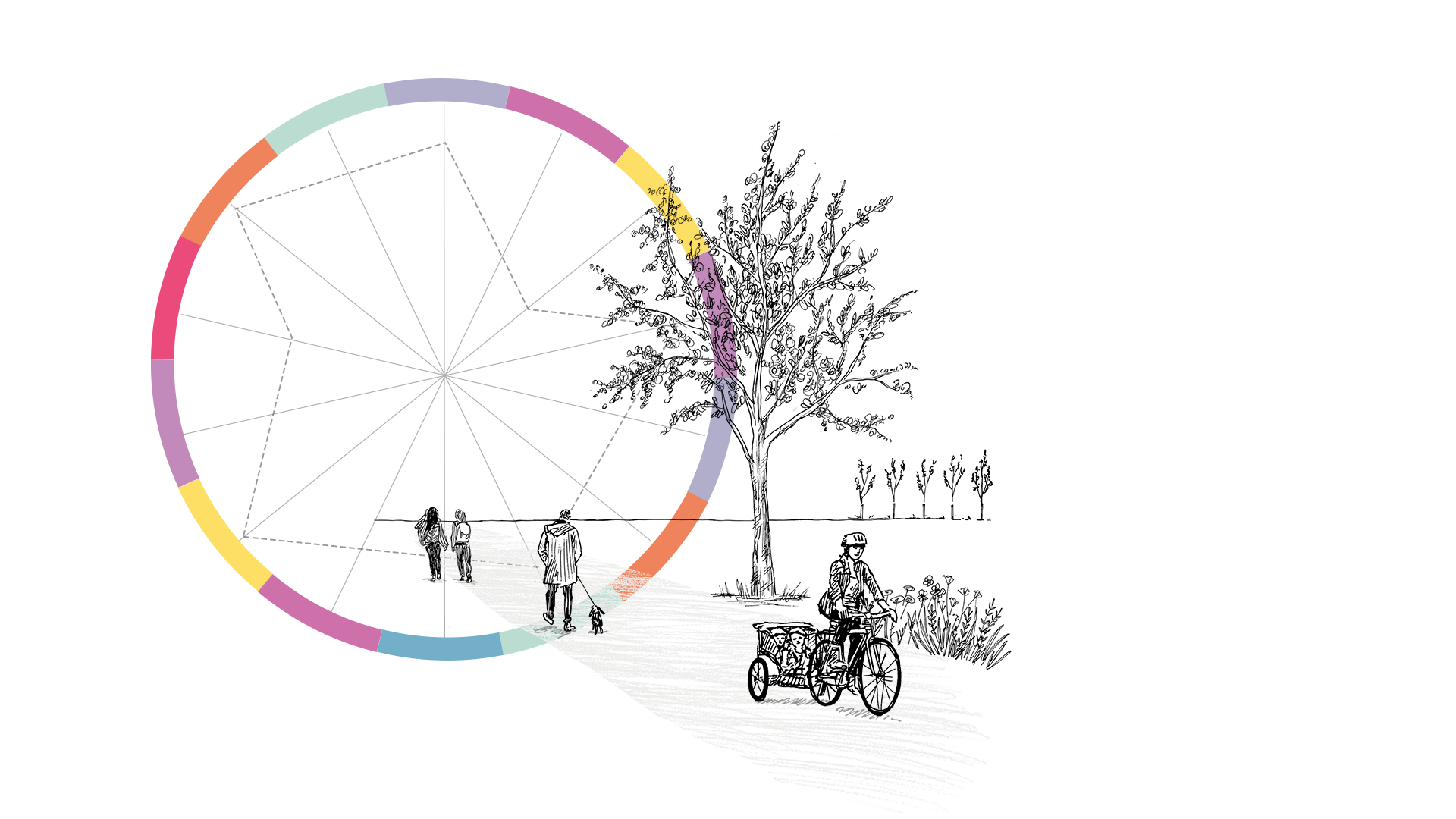
Our neighbourhoods represent an important place. It provides us with places to interact and socialise with others and can improve our wellbeing through green spaces.
The Place Standard tool can help local authorities, councils and organisations to pinpoint areas in neighbourhoods that require improvements. The tool involves a framework which provides you with a way to assess places, incorporating invaluable feedback from local residents in neighbourhood areas.
How is the tool relevant?
- Engages seldom heard groups
- Identifies area-based improvement needed
- Provides baseline data for local place plan, development briefs or masterplan
- Helps with priority setting
- Enables action planning
- Offers opportunities for specialists focus e.g., World Heritage Site management
- Provides site assessment
- Establishes a community brief for design charette
- Tracks design development change over time e.g., ‘as existing’ and ‘as proposed’
- Builds inter-disciplinary dialogue and dataset
How can the tool help resolve current issues for place-based work?
- Local Place Plans
- Development Briefs
- Area Masterplans
- Community Consultation and Engagement
- Co-design and community empowerment
- Design Charrettes
Examples of the Place Standard tool in action
We've collected a series of case studies that provides evidence of how the Place Standard tool can benefit local authorities, communities and organisations working in place-based projects. These case studies are a recollection of stories from people using the Place Standard tool.
Click on the links to scroll to the selected case study.
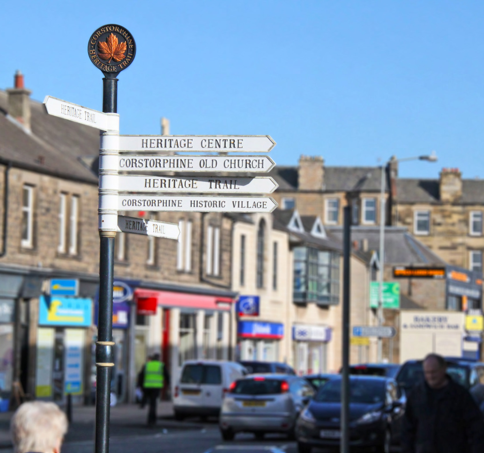
Edinburgh Southside and Corstorphine place briefs and area masterplan
Will Garrett at City of Edinburgh Council explains how the Place Standard is now embedded in the local authority’s strategic placemaking process, with reference to two early neighbourhood consultations.
Image credit: City of Edinburgh Council
As a service provider, the local authority seeks to understand the needs of its communities. We have plenty of statistical data to help with this, but the Place Standard provides a picture from the community’s perspective.
It’s all about what people think and how they feel about an area, and it’s those things that drive behaviour. To have an understanding of this is really valuable for the local authority
We have used the tool at different scales within our local authority area such as:
- helping to frame issues for the forthcoming city plan
- site-specific consultation on new developments in South Queensferry
- gauging perceptions of the management of the city centre World Heritage Site, and also for neighbourhood areas such as Southside and Corstorphine
For Southside and Corstorphine, we wanted to engage residents in discussions on what’s good about their neighbourhood and what could be improved.
For the Southside, the idea was to identify the strengths and weaknesses of the neighbourhood as a place to live, work and visit, to help shape future actions for the area.
This was being carried out as part of the activities relating to the Locality Improvement Plan.
For Corstorphine town centre, we specifically wished to consult local residents on our proposed amendments to the Corstorphine Supplementary Guidance and how we could improve it further.
In addition, the Community Council had a strong desire to engage on the issue of air quality along St John’s Road, which runs through the heart of Corstorphine. It was keen to use the Place Standard as a mechanism for having this discussion with the local community.
Promoting consultations
We promoted consultations to the residents with the help of Community Council contacts. Using promotional channels such as:
- Facebook and Twitter
- the council website
- councillor communications
- distribution of flyers to households
In each area, we have also involved schoolchildren and reached out to specific groups, such ethnic minority groups – for example via contacts linked to Southside Mosque.
We used the online and paper version of the Place Standard tool, working with groups in local venues and a diverse range of busy settings where people tend to congregate.
Southside
For the Southside, two Place Standard events were held in a community meeting room in November 2016, followed by an online survey. Participants generally completed the tool in groups of five to six people, but that varied.
Discussion was facilitated and views were recorded by staff around tables at focus groups. Responses to the consultation were consolidated and transferred to sheets that set out all comments by theme.
Costorphine
A similar process took place in Corstorphine, using a community space as well as the local McDonalds car park. The questionnaire was also available online.
As part of our early engagement on the City Plan 2030, we visited eight high schools across the city, running nine sessions with S3-S5 pupils. This resulted in 33 Place Standard questionnaires being completed, involving around 215 pupils.
Our public consultations that use the Place Standard influenced spatial policy (place briefs and area masterplanning), transport policy and Development Management work.
Data and lessons are also discussed and shared across Council services and included in action planning.
On a citywide scale, the Place Standard is now embedded in City of Edinburgh Council’s strategic placemaking process. In a number of cases, we have also successfully used it in schools to inform the Main Issues report.
For the Southside, the outputs fed into the Locality Improvement Plan and further detailed work is now taking place in targeted areas.
For Corstorphine, the consultation showed the public was largely supportive of the proposed changes to the town centre Supplementary Guidance. Some suggestions for minor alterations and clarifications were incorporated into the final version.
“We have found the Place Standard is simple to use and is an enjoyable way for communities to take part in a holistic assessment of their area. With it being easy to understand, it offers a very effective way of successfully engaging young people with the planning process – a demographic we might otherwise find hard to reach.”
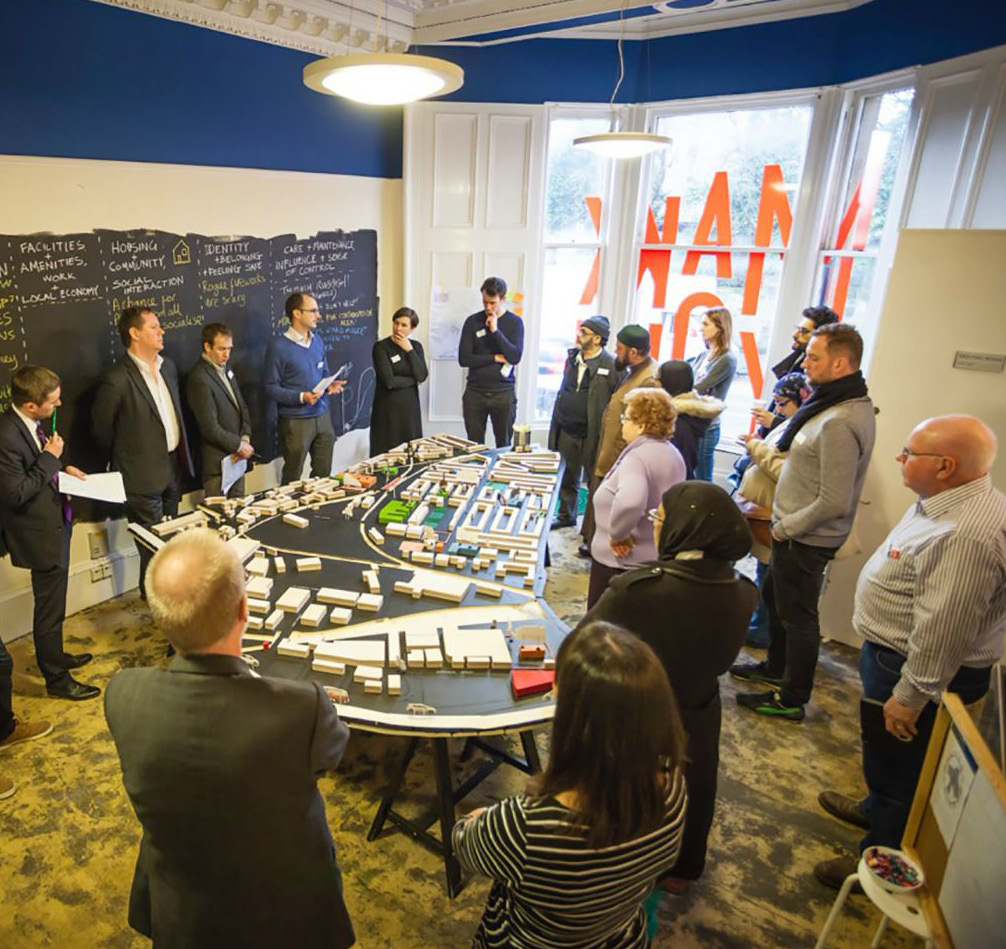
East Pollockshields regeneration design charrette
Pollokshields Community Council commissioned Collective Architecture and Dress for the Weather at the end of 2015 to lead a design charrette for East Pollokshields. They were looking to engage the community in identifying key areas for long-term improvement.
Architect Jude Barber explains how Place Standard helped the conversation.
Image credit: Ross Campbell
Make your mark project
The main aim of the project was to complete the East Pollokshields and Port Eglinton Planning Study as a masterplan document. As supplementary planning guidance to the new city development plan, it would help inform the next two decades of development in this multicultural area.
Design charrette
The Place Standard tool formed an integral part of the wider charrette process. It was used to structure and facilitate engagement in a holistic and clear way and highlight positive aspects of living and working in the area.
We used the Place Standard tool in a week-long charrette process in a range of different settings, which ran in February 2016. Local residents could participate and contribute regardless of how much time they could spare.
Local residents as Charrette Champions
Several active local residents signed up as charrette champions, to support the process alongside the community council and the consultant team. These champions represented a cross-section of the local community and were able to encourage participants into the project thanks to their local links.
Mobile charrette consultations
The week began with informal, on-street ‘mobile charrette’ consultations, which saw the project team go out onto the streets of East Pollokshields and Port Eglington with plans and models.
This mobile charrette used a simple, one-page version of the Place Standard compass diagram with a small comments section to obtain thoughts from passers-by on the street.
Four half day workshops at ‘Charrette HQ’
Following the mobile charrette consultation was a series of four focused group discussion workshops structured around the Place Standard topics. The setting was a specially arranged ‘Charrette HQ’ on Shields Road with a welcoming atmosphere with a:
- workshop space
- presentation area and a large-scale model
- social spaces with hot drinks
Each of the four half-day workshops covered three to four of the Place Standard themes. Everything was covered over the two days and participants who took part in all four sessions had a completed questionnaire by the end of the process.
Translating the questionnaire into Urdu
Key headings and questions were also translated into Urdu. These were displayed in the main workshop and handed out at events. Discussions around them were facilitated by the project’s Urdu-speaking engagement team member.
Presentations
The consultant team was on hand, with each specialism giving a presentation at the start of every workshop. These presentations were designed to:
- provide a framework of constraints and topics for the conversation
- inspire discussion
- give a deeper understanding of the local context
Following the presentations, we divided the attendees into groups of between five and ten people, with the consultants chairing each discussion.
Role of Charrette Champions
The charrette champions helped to keep discussions on topic as well as take notes. The workshops revolved around maps of the area with notetaking and sketching overlaid.
Discussion was prompted by the Place Standard questions, which ensured consistent themes across all engagement and provide participants with an opportunity express specific concern.
Using the Place Standard app
All completed forms were transferred digitally using the Place Standard app and assessed together relative to location and key themes, and feedback. The data was collated into a report and distributed to all key stakeholders for review.
The outcomes were distilled into a five-point plan for the area and a schedule of activities for the short, medium and long term.
Discussing and sharing ideas
To conclude each workshop, the groups would gather around the large city model and present their discussion to fellow participants.
Groups were then encouraged to ‘draw up’ their findings and leave a record of their discussion over the maps and model.
A five-point vision
Through the Make Your Mark charrette process, the local community informed and developed a clear and concise five-point vision that addressed existing challenges, proposed viable solutions and set out a positive future for the area.
It seeks to build on existing infrastructure and to better support the local community in shaping and influencing the development of East Pollokshields.
A community action plan
The process also helped to shape and develop a realistic and deliverable community action plan – a series of short, medium and long-term actions through which the five-point vision could be achieved in a dynamic, phased manner.
Revealing results to the public and Scottish Government
The five-point vision and resultant actions were presented at a public meeting on 20 March 2016 and were well received. They were presented to residents, stakeholders and locally elected representatives, including Scotland’s First Minister Nicola Sturgeon.
Community Trust
The process led to formation of a Community Trust which has been active since and is taking forward the aims and objectives identified in the study. A Community Engagement Officer is now in place on a part-time basis.
The trust has also arranged a three-year lease with an existing landowner to allow access and use of a disused bowling site. Plans and ideas for how this might be used by the local community are currently being developed.
“The Place Standard was introduced to give consistency and clarity to an intensive and varied process, but also because it allows flexibility in how people can engage with the tool.”
Portlethen town centre place plan and local development plan
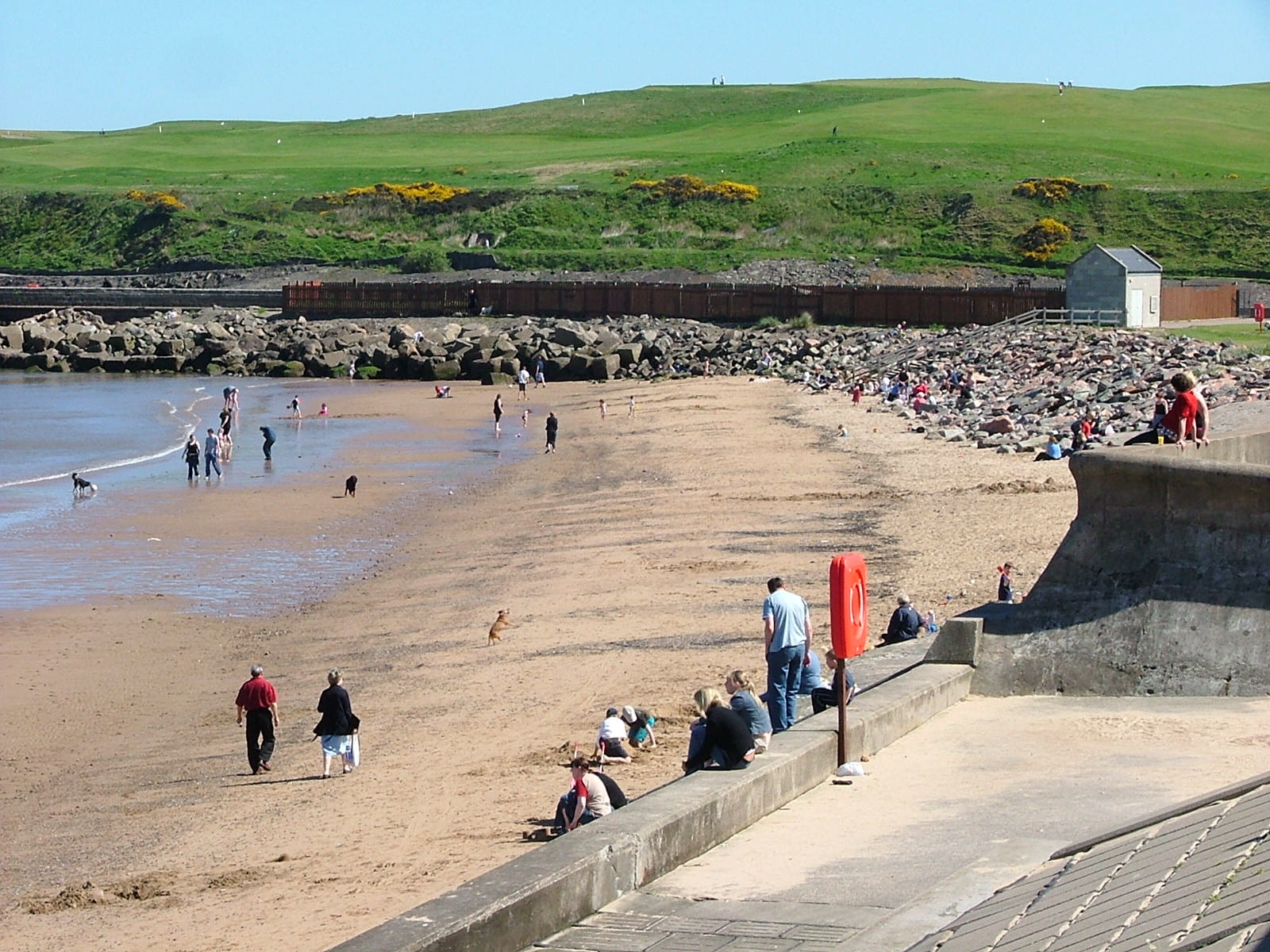
Karen McWilliam and Diane Strachan of Aberdeenshire Council’s Area Management Team for Kincardine and Mearns talk about the use of the Place Standard.
They reflect on a series of iterative community events for the settlement of Portlethen, arranged in collaboration with the Community Council.
Image credits: Steve Tiesdell
We decided to use the Place Standard tool to inform settlement statements in the next iteration of the Local Development Plan (LDP) and for Settlement Plans for the three large settlements in the Kincardine and Mearns area – Portlethen, Stonehaven, Laurencekirk.
We wished to establish a community brief for actions in each settlement.
We liked the Place Standard tool, because the themes it covers capture most of the concerns that people have in their community. It’s a very effective way to enable people to broadly focus on the whole picture rather than just one issue.
Training and early involvement
Aberdeenshire Council had been working with Portlethen & District Community Council before embarking on the engagement, and Architecture & Design Scotland (A&DS) provided training for Council staff and partners.
Involving staff and partners early on was key. We felt it was important to understand the tool and sign up to act on the priorities that would emerge from the community engagement. The hope was that staff would prioritise service delivery based on the outcomes of the engagement.
Community events
An iterative series of community events was arranged by the Council’s Area Management Team with Portlethen & District Community Council to establish a community brief for actions. Community groups and other potential participants were targeted through a known range of networks and door-to-door mail shots.
We used the paper version of the tool to facilitate group working with small groups of four to ten. Initial briefing sessions established key themes and priorities.
Action planning sessions developed the main themes that arose and identified specific projects and initiatives to be reflected in the LDP and Settlement Plan.
The first session was a very positive, well-attended event.
Using the online version
An online survey was also launched at this time to allow those who could not attend the event to have their say – around 120 people responded.
We analysed the combined data from both the event and online survey and held a follow-up prioritisation event with around 40 participants to take forward the action plan.
Incorporating community ideas and priorities
To consolidate the plans for the improvement in Portlethen, a follow-up two-day event took place in May 2018, supported by A&DS.
A rapid process confirmed the community brief and created project profiles for specific initiatives. We then discussed opportunities with stakeholders for three ‘town centre’ locations in Portlethen identified for improvement.
The crosscutting nature of Place Standard themes has enabled us to pinpoint—through the facilitated session with A&DS—what the community issues are.
We then mapped the arising brief and projects into cross-service policy and investment programmes to create an implementation programme. In this way, we were able to map community ideas and priorities into policy and investment opportunities.
Placemaking plan and community initiatives
The process gave rise to a placemaking plan for Portlethen, to be delivered by Aberdeenshire Council, as well as community and stakeholder groups. This document will inform future service delivery for the council and partners.
The process has also catalysed initiatives for the community itself to take forward and improve on, such as:
- path networks
- open space and play areas
- community facilities
- retail experience
Community website
There is also a desire to create a community website as a one-stop-shop to find out what is happening locally, and so forth.
A community event took place in February 2019 to recruit community volunteers to take forward creation of the website along with some of the other projects.
Future plans
Aberdeenshire Council is also proposing to use a similar process to identify local needs and create Place Making Plans for Laurencekirk and Stonehaven. The engagement in these two locations will be slightly different and is being driven forward by the respective community councils, with less need for intensive input from the local authority.
“It was important to ensure a collaborative approach involving community and partners. We found that the Place Standard tool was great for encouraging discussions between officers, partners and the communities themselves.”
Kirkwall place plan
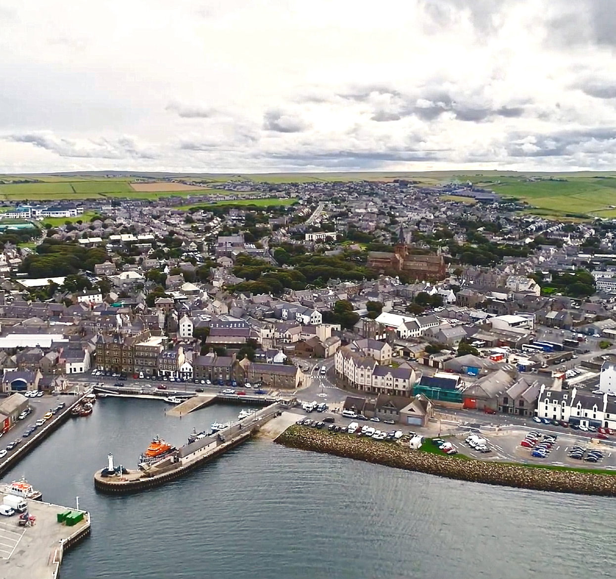
Julia Frost of the place and active citizenship charity PAS talks about use of the Place Standard in Your Kirkwall, a charrette managed and facilitated for Orkney Islands Council.
Image credit: PAS
Your Kirkwall was a two-stage programme of community engagement between autumn 2017 and summer 2018, to inform Orkney Islands Council’s new place plan for Kirkwall for the next ten to 20 years.
The Your Kirkwall charrette encouraged people to come together, discuss and share ideas for the future of the islands’ capital as a place to live, work, study and visit.
It comprised a series of open community conversations and events, including a community survey, drop-in events and presentations, and facilitated workshops using the Place Standard tool.
We chose to use it due to its ease of use and because it generates ‘big picture’ data about a place.
Involving a variety of people and shared across different platforms
Your Kirkwall involved residents, schools, community groups, local businesses, voluntary organisations, the local authority and others.
A dedicated website, Facebook page and Twitter feed were set up to raise public awareness, promote events, encourage completion of the community survey and provide news updates to sustain interest.
Pre-charrette engagement
Use of the Place Standard tool formed a key element of pre-charrette engagement workshops with schools, Orkney college and a youth club. We adapted the tool with plainer English and simplified questions to help frame conversations with Kirkwall’s young people.
Also, during the pre-charrette phase, the online and app versions of the tool were made available to residents via a unique access code. This community survey, which attracted 322 responses, helped to start the conversation and gauge the most important issues in advance of the main charrette activity.
Facilitated workshops
Then, in November 2017, four facilitated public workshops of two hours each were held in Kirkwall Town Hall, with public drop-ins taking place throughout both days.
The aim of the workshops was to build on the themes identified pre-charrette, and drill down into community aspirations and priorities for Kirkwall.
Place Standard floor map wheel
To keep things visual and engaging, we produced a giant vinyl floor map of the Place Standard wheel, with plastic cones as markers for people to position on the wheel.
The floor map was placed in the town hall foyer, outside the entrance to the venue, so that anyone could engage with it.
This worked really well as we observed residents gathering round the map, some on their hands and knees, sharing thoughts.
In the workshops, we worked with groups ranging in size from two to three people and up to ten, to drill down into the perceptions data gleaned pre-charrette. The paper version of the tool was used in these workshops as a ‘mood guide’ to gauge and sense check priorities.
The tool was used in conjunction with our PAS SP=EED guide, and outputs from the Place Standard exercise fed into a draft framework for the new place plan.
Presenting and obtaining feedback
The pre-charrette activities and public workshops were followed in January 2018 by a series of public presentations, discussions and a youth summit.
These allowed us to present and obtain public feedback on the initial framework of draft proposals for the emergent Place Plan (also made available via the website and social media channels).
Opportunities for developing new spaces
The Place Standard revealed that residents genuinely had a strong sense of identity and belonging to Orkney, however there were also some perhaps surprising areas of dissatisfaction, for example low scores on greenspace.
This led directly to further work with young people at the youth summit on developing ideas to enhance greenspaces around the Peedie Sea.
A place plan for the community
Following this second stage in the consultation, the Place Plan, entitled Your Kirkwall Urban Design Framework – A Place Plan for Kirkwall, was refined and then ratified by full council (a meeting of all Councillors) on 9 October 2018.
Having been informed by such an extensive community engagement process, it can be said that the final place plan is truly owned by the community.
It now guides future council planning, design and transportation policies for the town, and is currently being written into the Orkney Local Development Plan and Kirkwall Settlement Statement as Supplementary Planning Guidance.
“The Place Standard is about more than gathering the data – it fosters a sense of inclusive collaboration and helps lead the way in achieving the Scottish Government’s ambition for community empowerment.”
Kincardine regeneration design charrette
Gary Porter of The Coalfields Regeneration Trust and design consultant Oliver Chapman share their experiences of using the Place Standard as part of a design charrette for the town of Kincardine on the Firth of Forth.
Image credit: Fife Council
We used the Place Standard as part of a wider charrette process in June 2017. The aim of the charrette, called ‘Go Forth! Kincardine’, was to appraise Kincardine in its current state and help identify opportunities for co-ordinated action. This was to benefit the local community and make Kincardine an even better place.
We felt the Place Standard tool was a natural fit to assist us in gauging the community’s thoughts in a simple and tangible way.
With the tool, we focused on five target areas in Kincardine identified from the pre-charrette engagement work and from existing knowledge. These areas were of similar scale but varied in character:
- The historic village centre/marketplace
- An awkward road junction
- The high street where the supermarket was scheduled to close
- The waterfront facing the River Forth that is hard to access
The tool facilitated our engagement work with the community and helped us to tease out local perceptions of the target areas.
Tapping into experiences
We discussed the use of the tool with key stakeholders at pre-event planning and briefing meetings. These included colleagues on the charrette delivery team who have experience of using it in previous charrette work.
This formed part of the full charrette programme, which was widely promoted within the community via flyers, email, social media, and national press coverage.
Various pre-engagement events included:
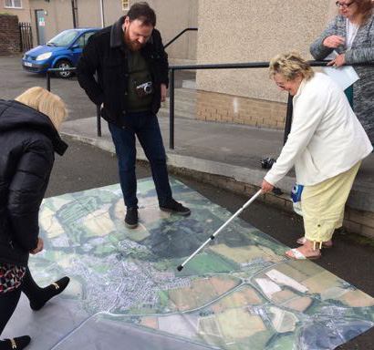
- a creative workshop with pupils from the local primary and high schools walking around town with the big map
- several stakeholder meetings with members of local organisations
Workshops
Following on from the pre-charrette activities, the main charrette event was held at Kincardine Community Centre over a concentrated four-day period in June 2017.
Each workshop built on the discussions of the day before to enable a thorough investigation and analysis of the key issues, gathering a full range of ideas and suggestions.
Evening drop-ins complemented the daytime workshops and opened the charrette event to as wide a sample of the local contingent as possible.
The workshops and drop-in sessions were well-attended, with over 200 participants across the four-day period.
Walking around key areas
Using the Place Standard tool on the first day, participants examined the four target areas on investigative group walks. It was each led by a member of the engagement team with a background discipline that best suited the anticipated discussion points.
Pairs of participants shared clipboards and small groups of teams focused on each target area. Participants walked around the areas and completed paper versions of the tool as they went.
After walking through key areas, participants then took part in group discussions. These discussions provided an opportunity for participants to share their findings and observations and come to a consensus on their area’s score for each of the Place Standard categories.
Each group had an anchor member from the engagement team. Individuals from other area groups were encouraged to drop in and give their opinions to build up a holistic picture.
Analysing data
Data from the Place Standard assessment was analysed and drawn as layers on blank, large format prints of the Place Standard compass diagram.
These were reviewed with the community at a charrette plenary session for group agreement that the outcomes reflected the general consensus. It was then digitised and included in the final charrette report with analysis.
A holistic vision of Kincardine
The key observations and issues that arose during the Place Standard exercise are now clearly prioritised in the charrette report and organised into four underlying themes:
- Connectivity
- Heritage and identity
- Enterprise
- Health and wellbeing
This has formed the basis for a ‘big picture’ holistic vision for the future of Kincardine, and a more detailed action plan which identifies short, medium and long-term actions.
Further discussions and emerging areas for action
The data that emerged from the charrette opened discussions with Scottish Power (about derelict land use), Co-op supermarket (which is moving out of the town centre and spurred action for improved access to local Forestry Commission woodland and more.
The process helped focus a fledgling Development Trust and led to the creation of a community anchor group, ‘Go Forth Kincardine’. The group aims to lead on and deliver the plans, projects and proposals set out in the community plan.
In addition, the wider influence of the work is shaping social and spatial policy in Fife.
“We found that having the Place Standard tool as part of a wider consultation was useful. As a stand-alone exercise, this allowed us to make sure the findings were included and tangible to the other research and work completed.”
Leith Docks development framework design charrette
Leith Creative, Here + Now, Biomorphis and Lateral North used the tool to help inform the ‘People and Places Make Leith Better’ project. There were around 400 respondents at 6 events and a total of 3000 participants were involved in the wider programme.
Duncan Bremner, a citizen curator reflects on how the team used the tool to get more people involved in the decision-making process.
Image credit: Leith Creative
As part of the ‘People and Places Make Leith Better’ project, we used the tool to involve and empower those not usually considered in planning or decision-making processes.
On-street engagement and public spaces
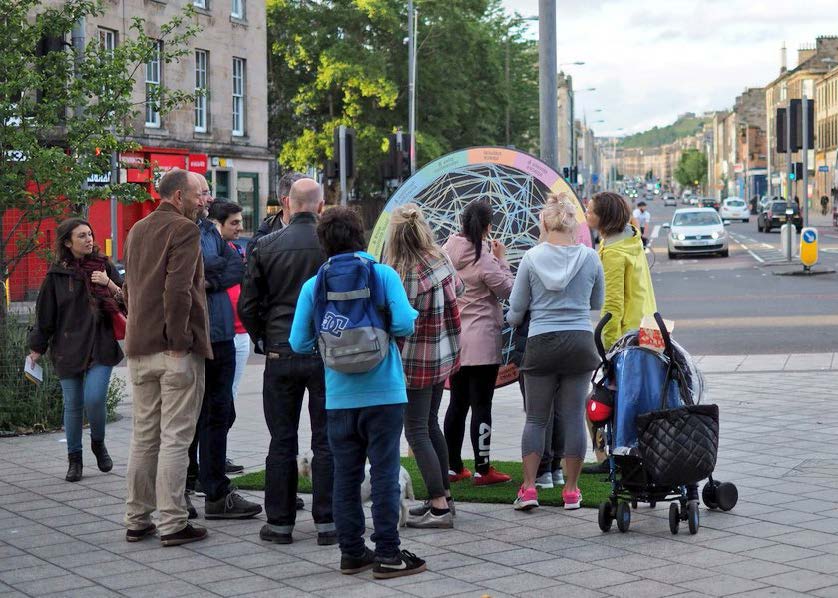
We carried out on-street engagement using a giant version of the Place Standard tool. The Place Standard wheel allowed us to create an event that everyone living or working in Leith could join in with and understand.
Working with partners the original compass was converted into a large movable rotating chalkboard.
The wheel was taken out into the community, appearing in a variety of public spaces and at street corners. It was used first near St Margaret’s House and in the wider Leith area prior to a design charrette at St Margaret’s House.
Drawing out a variety of perspectives
Assessments were predominately made by groups attracted to the wheel and supported by a facilitator.
Each individual we spoke with had the opportunity to discuss their perspective and to record their own views using coloured chalk. Photographs were taken as the wheel grew. This enabled researchers to then map an average for each session.
This early work with the tool provided the foundations for the activities at St Margaret’s House where the Place Standard wheel was the main fixture. The wheel also supported another design charrette event in Leith, used alongside a Local Heritage Listings project.
The Place Standard wheel scores were documented and presented alongside qualitative data gathered through the conversations generated around the wheel.
The project concluded in a two-day community conference where the wheel formed an integral part of sharing findings from the several charrettes and events.
Outputs were reported formally to the council, the community council—presented in a document called the Leith Creative Blueprint and shared at a series of public reporting events.
The research has also fed into the ongoing development of the council’s Northeast Locality improvement plan and the updated Leith Docks development framework. Design for physical change will form the next phase of work.
“By going out into the community and asking for opinions the process empowered local people to express their feelings in a very direct way. We found that respondents were frequently from groups that might be considered as hard to reach.”
Making better neighbourhoods for Scotland
The Place Standard is a helpful tool that can support the development of places and services. If you need help with starting your journey of making better neighbourhoods, we can guide you in the right direction.
