
The Local Authority Urban Design Forum (LAUDF) offers a space for local authority practitioners involved in urban design to share ideas and practice. Members come from all local authorities. Meetings typically include planning, architecture, urban design, transport and landscape professionals.
At our LAUDF meeting in November, we looked at 20-minute neighbourhoods, places designed to meet residents' day-to-day needs within a 20-minute walk of their home; through access to safe walking and cycling routes, or by public transport. [source: ClimateXChange].
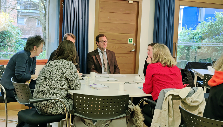
At the event, we shared examples of how 20-minute neighbourhoods are being applied in Scotland and explained varying uses and whole-place collaborative approaches in the Scottish context. The event was held as a hybrid online and in-person event with the following speakers:
- Joshua Doyle, Placemaking Co-ordinator at West Dunbartonshire Council
- Gillian Black, Principal Urban Designer, Architecture and Design Scotland
- Dr Husam Al-Waer, Reader in Sustainable Urban Design, University of Dundee
This page also includes:
20-minute neighbourhoods – mapping, measuring and learning
Joshua Doyle’s presentation covered the following themes, starting with: 20-minute neighbourhoods can improve well-being as well as response to the climate emergency.
One of Scotland’s biggest sources of emissions is from the private car. So, there is an overarching place and well-being element of local living and less reliance on cars, but also a huge potential impact to reduce our impact on climate change.
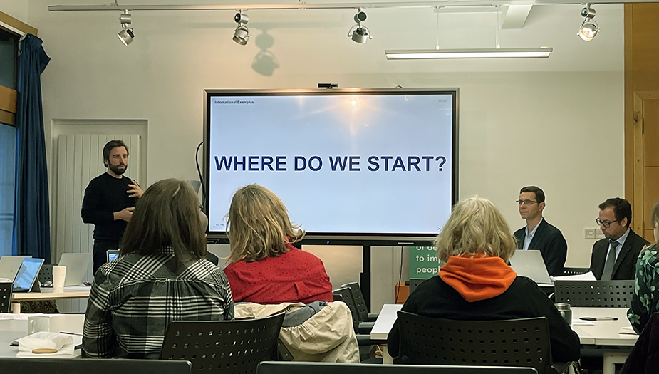
Where do we start?
If we don’t know a place, how can we ever make the right decisions and interventions? Places and services are measurable quantitively – but this needs to be understood in relation to qualitative measures such as distance and distance as time. For example, where you want to go may look close, but the journey may have obstacles.
But the big question remains - what should be included in a 20-minute neighbourhood?
To understand neighbourhoods, mapping based on key indicators and a level of detail from information that is readily accessible was used. Accessibility of properties within neighbourhoods is an important factor in this mapping process, for this reason access scores and data were used.
The mapping tool doesn’t provide the answers, but it allows better questions to be asked. An informed position that can help front-load conversations, as well as improving the decision-making process at a local level.
It can inform where urban areas need to be brought together to achieve population density to support critical services. It can also help the release and development of vacant and derelict land.
This supports and gives huge aspiration to the housing team to deliver energy-efficient buildings. If you deliver in the right place, then you don’t need parking for three cars!
Incremental versus system change
One of the key issues is the question of the use and implementation of incremental change versus system change, both can create a shift of behaviour within communities at different degrees. There needs to be big collective questions and decisions made so that incremental changes within existing communities are made, but to make sure what is done next, at a system level, is in the right place.
20-minute neighbourhoods – liveability
Gillian Black is the Principal Urban Designer and City Planner at Architecture and Design Scotland, leading advice to local authorities on how to establish place-based strategies. Gillian is overseeing the Key Agency Green Recovery whole-place collaborative support to Stewarton for East Ayrshire Council.
During her talk, Gillian highlighted national policy objectives specially relating to climate change transport and public health and how mapping, data and analysis are helping apply innovation in the planning of places to understand 20-minute neighboured principles.
She talked about the Key Agencies Group, who applies the Place Principle as an overarching context for place-based working in Scotland. The Place Principle helps overcome organisational and sectoral boundaries, encourages better collaboration and community involvement, and improves the impact of combined energy, resources, and investment.
Mapping, data analysis and community engagement
Gillian highlighted that mapping, data, analysis, and community engagement helped understand Stewarton as a Place using 20-minute neighbourhood principles. One of the key support mechanisms was a partnership with the Scottish Government Digital Planning team and East Ayrshire Council who shared mapping, data and additional information which was open-sourced. The Digital Planning team then coordinated all data into one dynamic mapping platform to help evaluate and measure such matters as public transport, open space, and walking distances to local services and facilities for residents within the town.
The support overall demonstrated the importance of understanding both the quantity of local routes and spaces of the town and the quality of these routes in terms of how people experience them.
The next step of support will continue to use the mapping platform to apply a whole place approach, to explore school investments, housing sites design principles and priority placemaking actions.
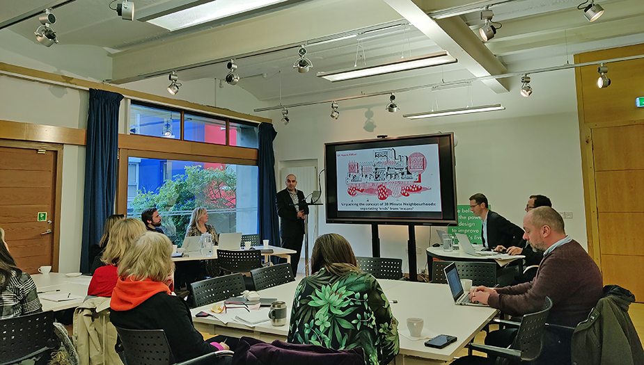
Unpacking the concept of 20-minute neighbourhoods: separating ‘ends’ from ‘means’
Dr Husam Al-Waer's presentation covered the following themes, starting with: At a time of multiple crises – climate, health, financial, inequality – why does place matter?
Place is more than the built environment – it also includes the production and consumption of goods and services. In this context, each individual neighbourhood affects the country’s overall economic performance. The building industry is currently focused on short-term results instead of long-term investment. This leads to poor-quality neighbourhoods that contribute to public health decline and social isolation. We need to rethink what makes a good neighbourhood and regain the advantages of ‘neighbourliness’.
The main elements to consider in a place are:
- Location: the context, in relation to a wider city or region
- Locale: the management of assets and needs (community, recreation, infrastructure, economic assets, and consumption)
- Sense of Place: the ‘meaning’ of a place and the attachment people form to it
Strategies for resilient places
The 20-minute neighbourhood concept has to adapt to the different needs of urban, rural and suburban areas. This includes:
- creating networks of well-connected neighbourhoods
- clustering villages in rural settings by creating links and enabling sharing of existing infrastructure
- balancing investment between city centres and other neighbourhoods, to avoid overgrowth and unsustainable demands on transport and land
- a more connected, ‘blended use’ approach, such as co-working spaces.
- moving away from commercial economy and towards social and local economy
- improving the quality of the journey itself (safety, comfort, enjoyment) and the human experience at eye level
A need for higher density
Resilient neighbourhoods need higher densities. This does not mean creating high-rise buildings or crowded spaces but rather, creating vibrant communities and streets that can support more facilities and services. These will in turn encourage active travel and better functioning public spaces, with more options for gathering and social interactions. Examples include Solar Avenue, Marmalade Lane and Great Kneighton.
Neighbourhoods should also function as ecological habitats. A ‘gentle density’ approach allows space for green/blue infrastructure while keeping the required density levels overall. The 3-30-300 rule could be a useful strategy: three trees in the view from every home, 30% vegetation cover and access to a park within 300 metres.
Questions and answers session summary
Although not everyone will be familiar with the actual term, it is a concept that people intuitively understand. Communities recognise the significance of being able to walk to a local shop, community centre or post office.
Apart from cross-service work we also need to collaborate with communities to work out what the 20-minute neighbourhood concept means for specific places and how it can improve their day-to-day life.
This would need to be carefully managed to consider both quantitative and qualitative elements. West Dunbartonshire Council is involved in working groups that bring people together to understand the needs of different service areas. They also support community projects and use their evidence base to help with the process.
East Ayrshire Council helps local communities to develop community-led action plans with goals and priorities relating to 20-minute neighbourhoods, such as improving walkability and enhancing public spaces.
Local Authorities need to understand what people grapple with in their day-to-day life. Mapping is part of that process but there is always a level of interpretation of mapping data. This is why officers also need to work with communities to understand how locals experience their place themselves.
For example, what looks like a short walk to school on the map might be a much more challenging walk in reality – with no lights, no continuous footpaths and heavy traffic, where pedestrians don't feel comfortable and safe.
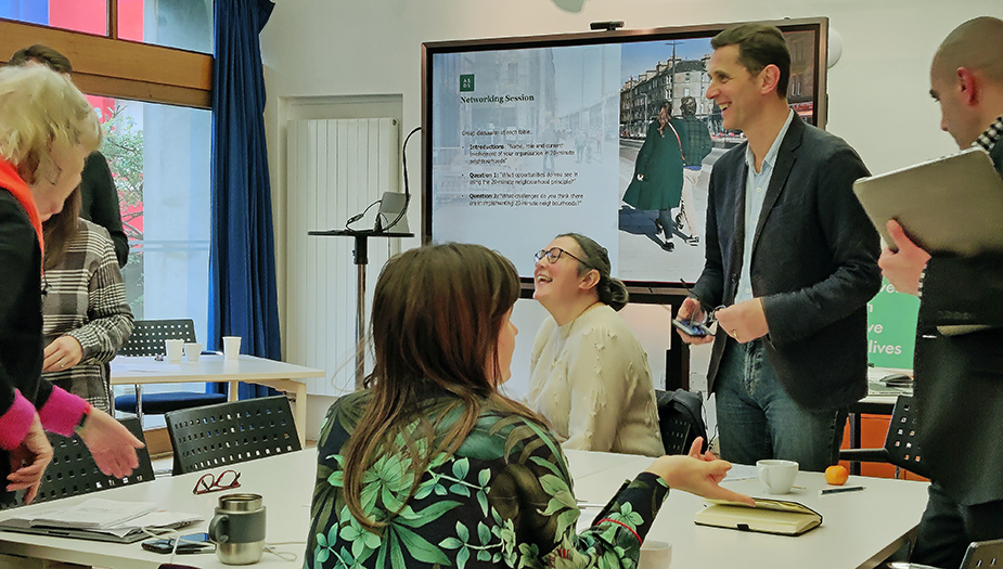
Networking session
The networking session provided a forum for getting everyone with an interest and expertise around the table – both local and professional chatting and being creative towards solving problems.
The discussion was with three different local authority perspectives around the opportunities and challenges of using the 20-minute neighbourhood principle.
In terms of opportunities, the holistic, tangible, graspable scale of 20-minute neighbourhoods enables people to talk meaningfully about a place they understand in a way that a usual, typical consultation may not. Such as:
- in understanding planning and the physical nature of places - to think about somewhere that is local or could become local to you.
- in terms of democracy - of people having a voice – voices that are perhaps not heard in the way that development processes happen up and down the country now.
Challenges that arise can be cast as opportunities - maybe represent a chance to move away from standard space approaches.
Their experience of cross-section working. Some said that it is not happening, but others are beginning to see it happen or they have a plan to make it happen.
The members also discussed the barriers found in implementing 20-minute neighbourhood policies to their places in their local authorities. Practitioners found systematic barriers, consultation fatigue, data gaps and silo working to be the biggest threats to a wider rollout.
Colleagues at the City of Edinburgh Council mentioned how the 20-minute neighbourhood principles are helping the planning department to structure development areas in a more sustainable way. Here, they focused on 19 of the most deprived areas within the city. The strategy has come as part of a wider shift away from seeing sites in isolation but joining up services remained a challenge.
Linking 20-minute neighbourhood principles to public transport came across as a major barrier to widening implementation in new sites. Despite the Transport (Scotland) Act 2019, local authorities still feel they lack the powers to take control and influence local bus routes. Elsewhere, gaps in data around public transport have made building up an accurate picture of local accessibility harder.
Regardless, it is still easier to locate existing development next to existing transport nodes.
Concluding remarks
The event underlined the importance of keeping the conversation focused on the quality of placemaking, with a place-focused approach and qualitative data gathering. It is important to consider the users of a space to practically understand sites and bring attention to understanding the contexts of local areas. It is also an interesting point of reflection in applying 20-minute neighbourhood principles in existing neighbourhoods versus new proposed developments.
Join the forum
Do you want to join the Local Authority Urban Design Forum? Get in touch to find out more!